Skip to content
Solutions / 3D Capture

Transform Your Facility
into a Digital Asset.

LiDAR-based 3D capture seamlessly integrated with IBM Maximo. Capture 50,000 SF per day at ±1–2mm precision — from scan to delivery in two weeks.

50K SFPer Day Scanning
2 WeeksScan to Delivery
±1–2mmLiDAR Precision
1-ClickAccess in Maximo
What We Do

One Scan. Endless Operational Value.

Traditional facility documentation relies on snapshots, hand measurements, and memory — all sources of costly human error. SMS 3D Capture uses LiDAR scanning technology to replace that with a single, always-accurate digital record of your facility: every layout, every equipment location, every current-state condition, captured at millimeter fidelity.

The result is a living digital asset your operations, maintenance, safety, and project teams can reference remotely — reducing planning costs, cutting unnecessary site visits, and enabling real remote collaboration without disrupting ongoing operations.

Learn More
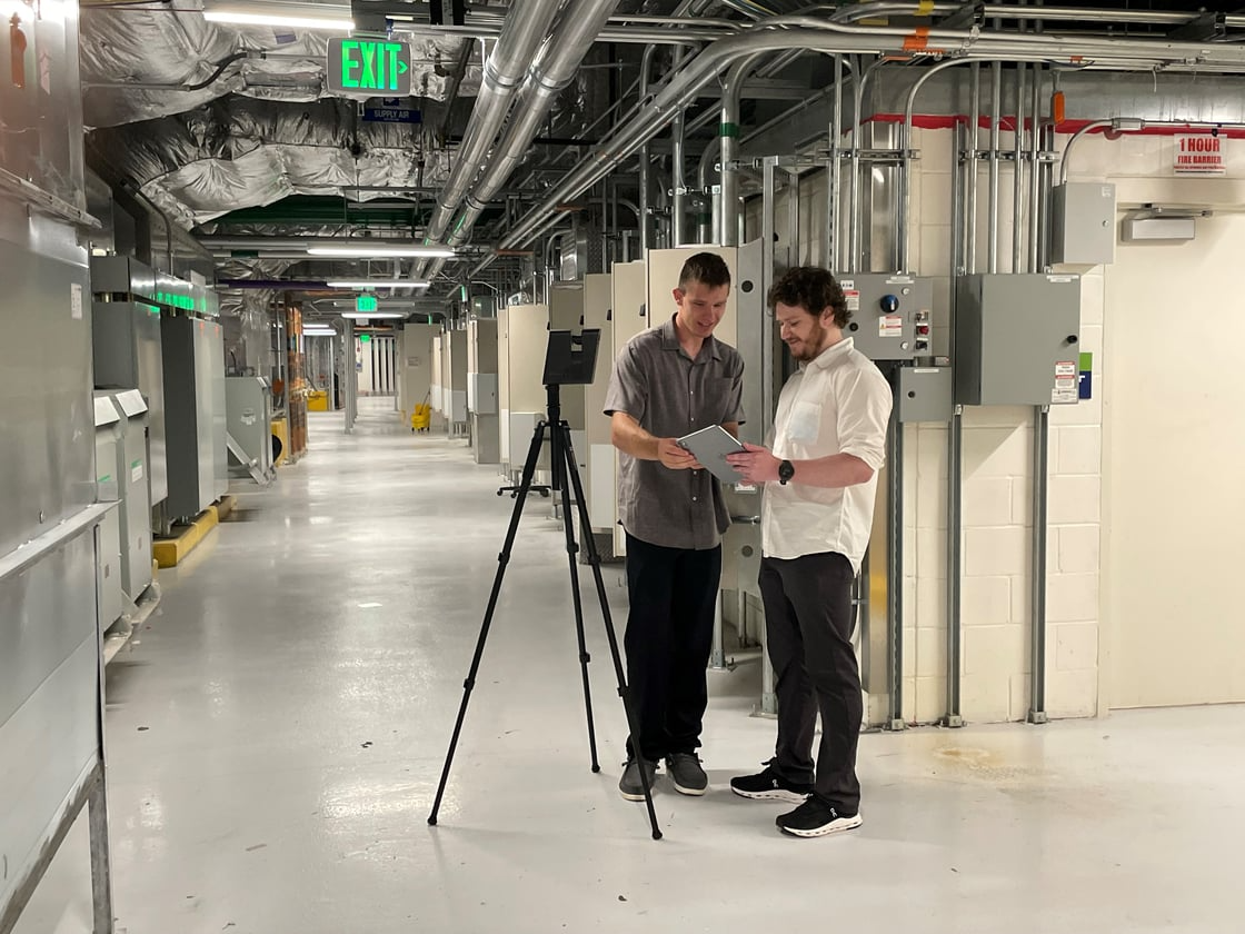
SMS team with LiDAR scanner
Eliminate measurement error. Reduce travel. Collaborate remotely.
Reduce Planning Costs
Remote access replaces expensive site visits.
Eliminate Measurement Error
LiDAR precision replaces manual measurements.
Enable Remote Collaboration
Same accurate view for every team member.
No Operational Disruption
Train and plan against a digital twin.
Core Capabilities

Six Ways 3D Capture Delivers Immediate Value

01
Remote Reference & Collaboration
Give every stakeholder an accurate, navigable view of your facility without a site visit. Reduce travel costs, compress planning timelines, and enable genuine remote collaboration across teams and time zones.
02
Renovation & Project Estimates
LiDAR scanning eliminates human error in manual measurements. Capture provides exact, verified dimensions across the entire space in scope — so estimates are built on reality, not assumptions, and change orders from missed measurements are eliminated.
03
Facility Documentation
Maintain a permanent, LiDAR-accurate record of your facility's layouts, equipment locations, and current-state conditions. Support safety audits, regulatory inspections, and capital planning with documentation that reflects what actually exists.
04
Navigation & Wayfinding
Help personnel locate equipment, access points, and critical infrastructure quickly and confidently. Navigable 3D models reduce time spent orienting in complex facilities and give contractors accurate spatial understanding before they arrive on site.
05
Training, Onboarding & Knowledge Transfer
Deliver realistic, on-demand training on your actual facility without disrupting live operations. New technicians, contractors, and cross-site teams gain accurate spatial and equipment knowledge from day one — at their own pace, on their own schedule.
06
Future Project Development
Support capital projects from scoping through execution. Rather than working from disconnected snapshots, project teams can view the entire area in scope in full spatial context — identifying conflicts and validating assumptions before work begins.
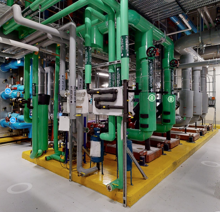
Mechanical Systems
Mechanical Systems
Asset Tagging
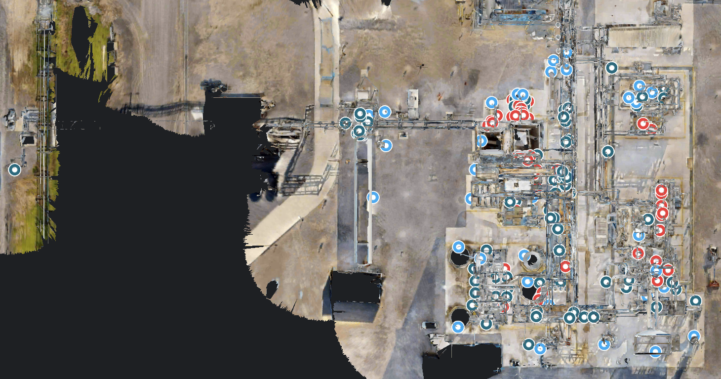
Asset Tagging in Action
Site Navigation
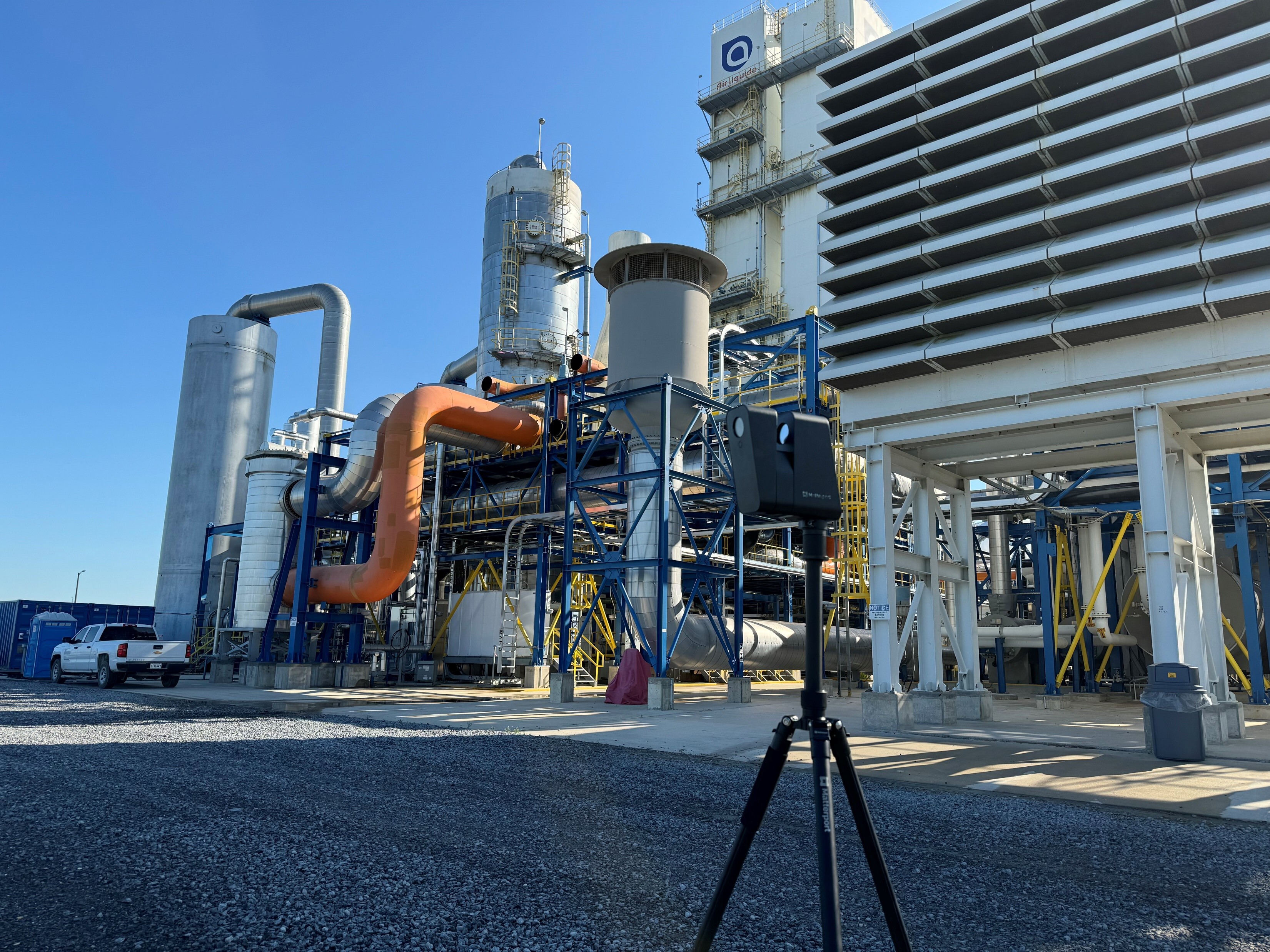
Site-Level Navigation
See the Difference

From Paper to Precision

Traditional documentation
Before
Traditional Documentation

Static drawings, outdated plans, manual measurements, and missed details — documentation that's out of date before the ink dries.

LiDAR digital twin
After
LiDAR Digital Twin

Interactive, photorealistic, and integrated with Maximo. Every asset tagged, every measurement verifiable, accessible from anywhere.

Who Uses It

Four Teams. One Platform. Different Problems Solved.

60% Less
Maintenance & Reliability
Plan outages without guessing

Link work orders to exact locations. Verify isolation points before arriving. Train contractors on equipment they've never seen — without a site visit.

Click asset → See work history → Plan approach
Zero
Engineering & Projects
Design with real constraints

Verify clearances before equipment ships. Route large components through actual spaces. Compare as-built to drawings in minutes — not weeks.

Measure → Route → Validate → Install with confidence
50% Faster
Safety & Training
Train before they arrive

Walk new hires through equipment virtually. Review incident locations remotely. Build spatial awareness without requiring site access.

Orient → Familiarize → Assess → Deploy safely
3× Faster
Remote Collaboration
Coordinate without travel

Give engineers full context from their desk. Show contractors exactly where to go. Get vendor input without site visits or misunderstandings.

Share link → Review together → Approve remotely
Our Process

From Site Visit to Production Use in Three Weeks.

1
Scope & Planning

Site walkthrough. We define capture zones, align on asset tagging conventions, integration requirements, and security protocols.

2
On-Site LiDAR Capture

Professional-grade LiDAR equipment capturing 50,000 SF per day at millimeter precision — zero operational impact.

3
Processing & Tagging

Raw LiDAR data processed into a fully navigable photorealistic 3D model. Asset tags and EAM/CMMS integrations applied per your specs.

4
Delivery & Support

Digital twin deploys to a secure cloud platform with Maximo integration live. SMS provides ongoing support — you're live by week four.

Industry Experience

Proven in Complex, High-Stakes Environments.

Manufacturing & Production
Most common: Turnaround planning
Continuous process plants, batch manufacturing, pharma/GMP facilities.
Energy & Utilities
Most common: Safety training
Power generation, substations, water/wastewater treatment, district energy.
Data Centers & Mission-Critical
Most common: Capacity planning
Hyperscale data centers, colocation facilities, critical infrastructure.
Healthcare & Campuses
Most common: Wayfinding, M&E tracking
Hospital campuses, university facilities, corporate campuses.
Transportation & Airports
Most common: Compliance audits
Airport terminals, rail stations, port facilities, transit operations centers.
Distribution & Logistics
Most common: Layout optimization
Fulfillment centers, cold storage, automated warehouses, cross-dock terminals.
“

Reduced our turnaround planning time by 40% and eliminated multiple site visits. The Maximo integration is seamless.

Director of Maintenance  ·  Fortune 500 Manufacturing Plant
Industry Applications

Applied Across Your Most Critical Operations

View Case Studies
Maintenance & Reliability
EAM-Linked Asset Documentation

Connect 3D capture directly to your Maximo system. Every asset links to its maintenance records, P&IDs, and inspection history.

Capital Projects
Capital Projects
Accurate Scoping for Renovation & Construction

Replace error-prone manual measurements with verified LiDAR spatial data. Estimates are accurate and costly change orders are avoided.

Safety & Compliance
Safety & Compliance
Audit-Ready Facility Records

Support safety audits and regulatory inspections with current-state documentation that reflects actual conditions.

proven. reliable. trusted.

Ready to Capture Your Facility?

Talk to an SMS engineer about your 3D capture project. We scope, capture, and deliver — with the EAM integration expertise no general scanning firm can match.